


Description
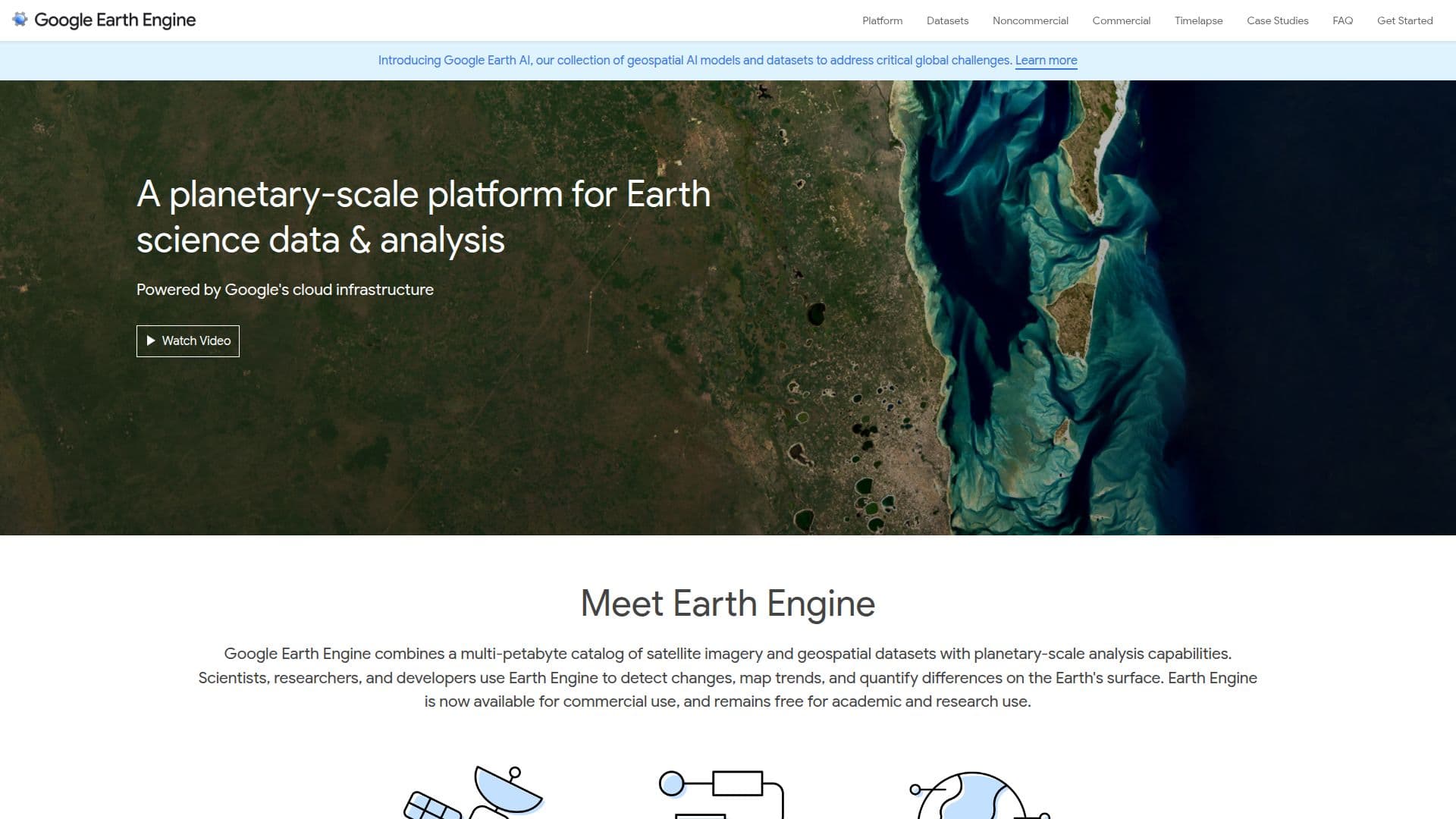
Google Earth Engine is a powerful cloud-based platform designed for the analysis and visualization of geospatial datasets. It combines a multi-petabyte catalog of satellite imagery and geospatial data with Google's planetary-scale analysis capabilities. This platform is widely used by scientists, researchers, and developers to detect changes, map trends, and quantify differences on the Earth's surface.
The platform offers a comprehensive public data archive that includes over thirty years of historical imagery and scientific datasets, updated daily. Users can access more than eighty petabytes of geospatial data instantly for analysis. Google Earth Engine provides a simple yet powerful API available in Python and JavaScript, allowing users to harness the power of Google's cloud for geospatial analysis.
Google Earth Engine is available for commercial use and remains free for academic and research purposes. It supports a wide range of applications, including remote sensing research, natural resource management, and disease outbreak prediction. The platform's web-based code editor facilitates fast, interactive algorithm development with instant access to petabytes of data.
The platform is instrumental in various scientific and humanitarian projects. For example, Global Forest Watch uses Earth Engine to monitor and visualize changes in global forests, while the Map of Life project utilizes it to analyze habitat ranges and assess species security. Earth Engine's scalable technology enables high-impact, data-driven science, making it a valuable tool for addressing global challenges involving large geospatial datasets.
Google Earth Engine's Core Features
Multi-petabyte catalog of satellite imagery
Planetary-scale geospatial analysis
Public data archive with historical imagery
Python and JavaScript API
Web-based code editor for algorithm development
Free for academic and research use
Commercial use available
Supports remote sensing research
Natural resource management capabilities
Disease outbreak prediction
How to use Google Earth Engine?
Access: Register your Google Cloud Project
Explore: Use the Explorer for data catalog browsing
Develop: Utilize the Code Editor for scripting
Analyze: Run geospatial analysis with APIs
Share: Download and share analysis results
Google Earth Engine's Use Cases
- Forest Monitoring
- Habitat Analysis
- Disease Prediction
- Resource Management
- Environmental Research