
ToolPotion
AI Advisor
Submit a Tool (Free)

Flypix AI

Flypix AI offers AI-powered geospatial solutions for analyzing satellite, aerial, and drone imagery. It automates detection, monitoring, and inspection tasks, saving users significant time and effort. The platform is designed for various industries, enabling custom AI model training for specific needs.

Visit Website
Share
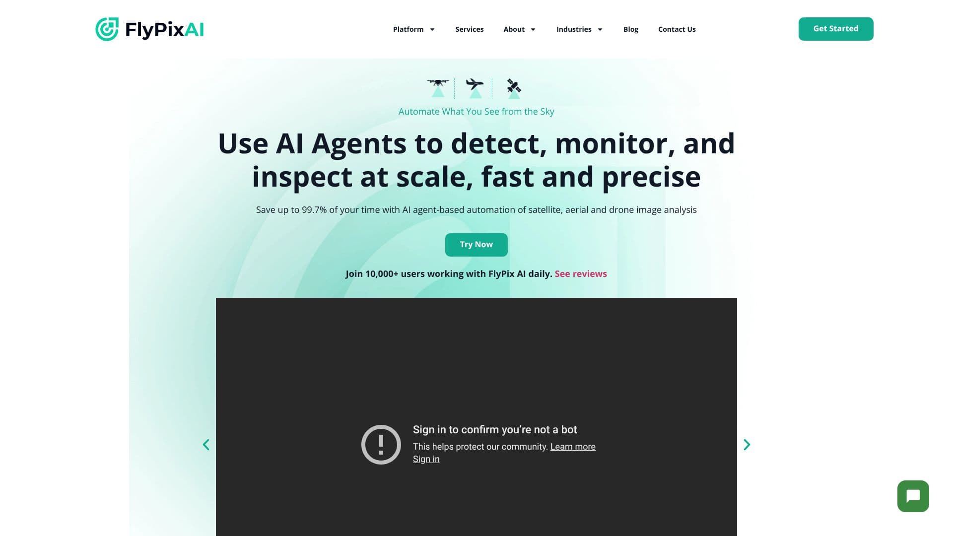
Flypix AI screenshot

Flypix AI provides advanced AI-enabled geospatial solutions designed to automate the analysis of imagery from satellites, aircraft, and drones. The platform leverages AI agents to detect, monitor, and inspect objects at scale with speed and precision. Users can save up to 99.7% of their time compared to manual annotation processes, transforming raw geospatial data into actionable insights.

Read More

At its core, Flypix AI excels at quickly identifying and outlining numerous objects within complex and dense geospatial scenes. This capability makes it an invaluable tool for industries such as construction, port operations, agriculture, infrastructure maintenance, forestry, and government. The platform is adaptable, allowing users to train custom AI models without requiring programming knowledge or deep AI expertise. By using user-defined annotations, businesses can create models tailored to detect specific objects relevant to their unique operational needs.

Flypix AI is built to democratize advanced geospatial analysis. It offers a user-friendly experience, enabling users to go from idea to proof of concept rapidly. The platform's testimonials highlight its ease of use, reliability, and the significant time savings it provides. Users have reported automating tasks like land-use classification with incredible precision and speed, turning drone imagery into actionable results within minutes. The integration of AI-driven analysis and cloud computing simplifies complex setups, making powerful geospatial insights accessible to a broader audience.

The platform supports a range of industries by offering flexible solutions. Whether it's for environmental responsibility, urban planning, or resource management, Flypix AI aims to enhance operational efficiency and decision-making. The ability to train custom models means that the platform can be applied to a vast array of niche use cases, ensuring that its geospatial analysis capabilities meet the diverse and evolving demands of modern businesses and organizations.

  • CategoryComputer Vision Tools
  • Pricing ModelTiered
  • DeploymentCloud
  • PlatformsWeb

  • AI-powered object detection in geospatial imagery

  • Automation of monitoring and inspection tasks

  • Analysis of satellite, aerial, and drone imagery

  • Custom AI model training with user-defined annotations

  • Significant time savings compared to manual annotation

  • Scalable geospatial analysis

  • Adaptable to various industry-specific needs

  • Cloud-based platform for accessibility

  • Enables rapid proof of concept development

  • Provides actionable insights from geospatial data

  • Supports complex and dense scene analysis

  1. Configure: Define your analysis needs and select relevant data sources.

  2. Train: Create custom AI models using user-defined annotations for specific object detection.

  3. Analyze: Upload your geospatial imagery for automated detection, monitoring, and inspection.

  4. Integrate: Utilize the insights and outputs for decision-making and operational improvements.

  5. Optimize: Refine AI models and workflows based on performance and evolving requirements.

  • Object Detection
  • Site Monitoring
  • Agriculture Analysis
  • Forestry Management
  • Infrastructure Inspection
  • Environmental Monitoring
  • Custom Geospatial AI

Flypix AI Reviews

Loading...

Popular AI Tools Like Flypix AI

Roboflow offers an end-to-end platform for building and deploying computer vision models. It provides tools for automated annotation, model training, and scalable inference,…

Computer Vision Tools

Ranked #158 in AI Apps

View Tool

Offers an end-to-end platform for building and deploying computer vision models. It provides tools for automated annotation, model training, and scalable inference,…Roboflow offers an end-to-end platform for building and deploying computer vision models. It provides tools for automated annotation, model training, and scalable inference,…

FeaturedComputer Vision Tools
Ranked #158 in AI Apps

A reality capture platform combining drone mapping, 360 photo documentation, robotics, and AI to help enterprises track construction, energy, and agriculture site progress,…

Computer Vision ToolsReal Estate & Construction

Ranked #2 in Agriculture

View Tool

A reality capture platform combining drone mapping, 360 photo documentation, robotics, and AI to help enterprises track construction, energy, and agriculture site progress,…

Computer Vision ToolsReal Estate & Construction
Ranked #2 in Agriculture

Granular provides geospatial vision AI solutions for defense, disaster response, and research. It trains computer vision models on satellite and aerial imagery, delivering…

Computer Vision ToolsManufacturing & Industrial

Ranked #150 in Computer Vision Tools

View Tool

Provides geospatial vision AI solutions for defense, disaster response, and research. It trains computer vision models on satellite and aerial imagery, delivering…Granular provides geospatial vision AI solutions for defense, disaster response, and research. It trains computer vision models on satellite and aerial imagery, delivering…

Computer Vision ToolsManufacturing & Industrial
Ranked #150 in Computer Vision Tools

VIAME is an open-source AI platform for analyzing imagery and video, originally designed for marine environments. It offers workflows for object detection, classification, and…

Computer Vision ToolsHealthcare & Life Sciences

Ranked #146 in Computer Vision Tools

View Tool

Open-source AI platform for analyzing imagery and video, originally designed for marine environments. It offers workflows for object detection, classification, and…VIAME is an open-source AI platform for analyzing imagery and video, originally designed for marine environments. It offers workflows for object detection, classification, and…

Computer Vision ToolsHealthcare & Life Sciences
Ranked #146 in Computer Vision Tools

Supervisely is a comprehensive platform for annotating images, videos, and other datasets, enabling collaboration and training of neural networks. It offers advanced tools for…

Computer Vision ToolsHealthcare & Life Sciences

Ranked #20 in Automotive

View Tool

Comprehensive platform for annotating images, videos, and other datasets, enabling collaboration and training of neural networks. It offers advanced tools for…Supervisely is a comprehensive platform for annotating images, videos, and other datasets, enabling collaboration and training of neural networks. It offers advanced tools for…

Computer Vision ToolsHealthcare & Life Sciences
Ranked #20 in Automotive

OpalAi offers Spatial AI tools that transform diverse data, including spatial, visual, textual, and audio, into actionable insights. Designed for commercial and government use in…

Computer Vision ToolsGovernment & Public Sector

Ranked #106 in Computer Vision Tools

View Tool

Offers Spatial AI tools that transform diverse data, including spatial, visual, textual, and audio, into actionable insights. Designed for commercial and government use in…OpalAi offers Spatial AI tools that transform diverse data, including spatial, visual, textual, and audio, into actionable insights. Designed for commercial and government use in…

Computer Vision ToolsGovernment & Public Sector
Ranked #106 in Computer Vision Tools

Vantor

AI Apps

Vantor (the rebranded Maxar Intelligence) is a spatial intelligence company combining its own satellite imaging constellation with AI-powered software to fuse, analyze, and…

Computer Vision ToolsGovernment & Public Sector

Ranked #55 in Computer Vision Tools

View Tool

AI Apps

Spatial intelligence company combining its own satellite imaging constellation with AI-powered software to fuse, analyze, and…Vantor (the rebranded Maxar Intelligence) is a spatial intelligence company combining its own satellite imaging constellation with AI-powered software to fuse, analyze, and…

Computer Vision ToolsGovernment & Public Sector
Ranked #55 in Computer Vision Tools

An end-to-end computer vision platform to annotate data, train YOLO models, and deploy them globally, built around the widely adopted Ultralytics YOLO open-source framework.

Computer Vision ToolsManufacturing & Industrial

Ranked #4 for Labeling & annotating data

View Tool

An end-to-end computer vision platform to annotate data, train YOLO models, and deploy them globally, built around the widely adopted Ultralytics YOLO open-source framework.

FeaturedComputer Vision ToolsManufacturing & Industrial
Ranked #4 for Labeling & annotating data
1 of 8