Description
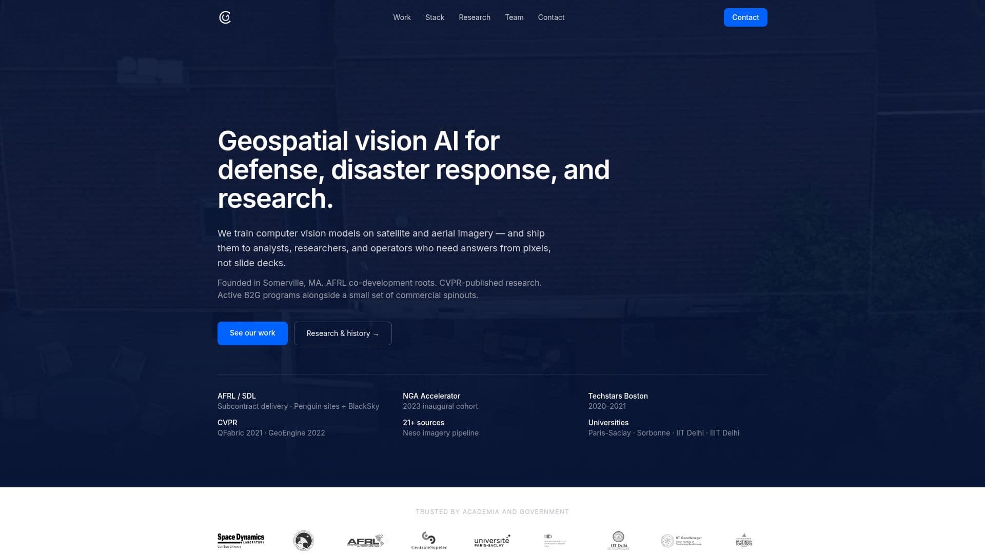
Granular is a geospatial vision AI platform designed to support defense, disaster response, and research initiatives. Founded in Somerville, MA, the company has its roots in co-development with the Air Force Research Laboratory (AFRL) and has published research at the Conference on Computer Vision and Pattern Recognition (CVPR). Granular's platform is actively used in government programs and a select number of commercial spinouts.
The platform specializes in training computer vision models on satellite and aerial imagery, providing actionable insights to analysts, researchers, and operators. Granular's solutions are trusted by academia and government entities, with partnerships involving institutions like Paris-Saclay, Sorbonne, and IIT Delhi.
Granular's offerings include industrial site monitoring, search-space reduction, and geospatial discovery prototypes, developed under AFRL and National Geospatial-Intelligence Agency (NGA) programs. The platform's disaster response tools, such as FireMap and QuakeMap, offer operational basemaps and monitoring for events like wildfires and earthquakes.
The company's research infrastructure, including GeoEngine and GeoSearch, supports end-to-end geospatial machine learning operations. These tools are not public products but are integral to Granular's government deliverables. Granular also has commercial spinouts like Inspect.Properties, which provides property measurement and storm history data for insurance and roofing sectors.
Granular's team includes experts in machine learning and operations, with advisors from leading academic institutions. The company continues to engage in research collaborations and government programs, contributing to advancements in geospatial AI technology.
Granular AI Platform's Core Features
Geospatial vision AI for defense
Disaster response tools
Research infrastructure
Industrial site monitoring
Search-space reduction
Geospatial discovery prototypes
Operational basemaps
Real-time alerts
How to use Granular AI Platform?
Configure: Set up geospatial AI models
Use: Analyze satellite and aerial imagery
Integrate: Connect with existing ops platforms
Optimize: Enhance model accuracy and insights
Granular AI Platform's Use Cases
- Defense Intelligence
- Disaster Response
- Academic Research
- Industrial Monitoring
- Property Measurement