Description
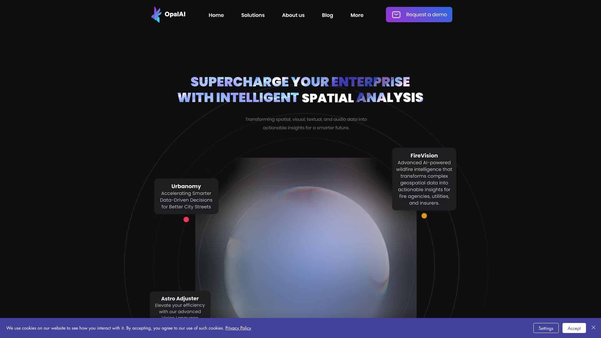
OpalAi specializes in Spatial AI, a cutting-edge technology designed to supercharge enterprises with intelligent analysis. Their platform transforms complex data types—spatial, visual, textual, and audio—into actionable insights, paving the way for a smarter future. OpalAi's solutions are particularly geared towards commercial and government applications within the United States.
Read More
Their service offerings include FireVision, an advanced AI-powered wildfire intelligence system that converts intricate geospatial data into actionable intelligence for fire agencies, utilities, and insurers. Urbanomy focuses on accelerating data-driven decisions for urban planning and city street management. Astro Adjuster leverages Vision Language Models (VLMs) to drastically reduce video analysis time from hours to minutes, enhancing efficiency for tasks like insurance claims assessment.
OpalAi also provides tools for digital transformation, such as Scan to BIM, which generates detailed Building Information Models from point cloud scan data, and Scanto3D, a mobile app that creates real-time 2D and 3D CAD models. These technologies are supported by partnerships with the National Science Foundation and leading national universities, underscoring their commitment to innovation and research.
The company's technological expertise spans 3D Mapping, LLaVa, 3D Deep Learning, 3D Scene Understanding, 3D Reconstruction, and 3D Information Modeling. OpalAi's vision-based AI is applicable across various industries, including PropTech for 3D property modeling, InsurTech for detailed claim assessments from video, Space Tech for analyzing satellite and SAR imagery, and Transport Tech for infrastructure management like pothole detection and road health monitoring.
Testimonials highlight significant time savings, with one client reporting floorplans delivered in two days for a project that would typically take a month. Opal AI has also received recognition and funding, including being selected as a finalist in PG&E’s 2025 Pitch Fest and receiving over $1 million in NASA SBIR funding to develop their FireVision system.
- CategoryComputer Vision Tools
- DeploymentUnited States
- PlatformsWeb
OpalAi's Core Features
Transforms spatial, visual, textual, and audio data into actionable insights.
Provides advanced AI-powered wildfire intelligence (FireVision).
Accelerates data-driven decisions for urban planning (Urbanomy).
Utilizes Vision Language Models (VLMs) for rapid video analysis (Astro Adjuster).
Generates Building Information Models (BIM) from point cloud scans (Scan to BIM).
Creates real-time 2D and 3D CAD models via mobile app (Scanto3D).
Expertise in 3D Mapping and 3D Scene Understanding.
Supports PropTech, InsurTech, Space Tech, and Transport Tech industries.
Backed by the National Science Foundation and top national universities.
Developed advanced AI for risk assessment and disaster management.
Focuses on multimodal AI systems for intelligence gathering.
Offers solutions for scalable city-wide infrastructure management.
How to use OpalAi?
Explore Services: Review OpalAi's offerings like FireVision, Urbanomy, and Astro Adjuster.
Utilize Scan Tools: Employ Scan to BIM or Scanto3D for data modeling.
Integrate AI Capabilities: Apply vision-based AI to specific industry needs.
Leverage Insights: Use transformed data for smarter decision-making.
Engage with Technology: Discover applications in PropTech, InsurTech, Space Tech, and Transport Tech.
OpalAi's Use Cases
- Wildfire Intelligence
- Urban Planning
- Video Analysis
- 3D Model Generation
- Property Modeling
- Insurance Claims
- Satellite Imagery Analysis
- Infrastructure Management