

Description
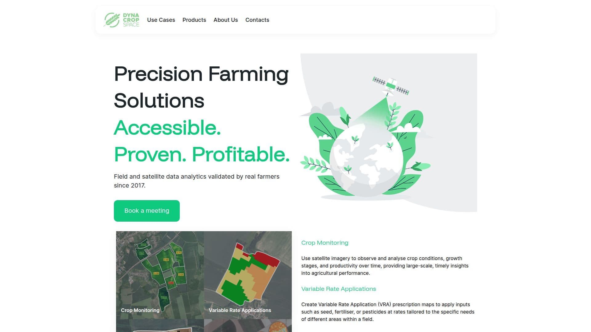
DynaCrop is an advanced API service designed to deliver field-related insights using satellite data for agriculture and AI applications. It serves as a computer-to-computer interface, providing vegetation monitoring and value-added products based on earth observation and big data processing. Users can access information about the current state of fields, crop growth, soil moisture, and field zoning for variable applications. The service offers global geographical coverage with data availability from 2017 onwards, utilizing PlanetScope, Sentinel-2, and Sentinel-1 satellites. DynaCrop supports various indices such as NDVI, EVI, NDWI, NDMI, LAI, FAPAR, CWC, CCC, and SMI, along with services like single observation maps, time series graphs, and field zones. The API is in its initial operational phase, and users are encouraged to report bugs and suggest new features. DynaCrop processes PlanetScope data from 2020 and Copernicus Sentinel data from 2017, with acknowledgment required for published outputs. The service is ideal for companies running their own software solutions, offering real-time insights to optimize agricultural practices.
DynaCrop API's Core Features
Satellite data insights
Vegetation monitoring
Field zoning
Crop growth analysis
Soil moisture tracking
Global coverage
Data from 2017 onwards
PlanetScope and Sentinel satellites
Indices like NDVI, EVI, NDWI
Time series graphs
Single observation maps
API access
Real-time data processing
Customizable field boundaries
Bug reporting and feature requests
How to use DynaCrop API?
Define field boundaries: specify the area of interest
Access API: integrate DynaCrop into your system
Retrieve data: obtain satellite insights
Analyze insights: interpret vegetation and soil data
Optimize practices: use insights for decision-making
DynaCrop API's Use Cases
- Crop Monitoring
- Soil Moisture Analysis
- Field Zoning
- Vegetation Indexing
- Agricultural Optimization