Description
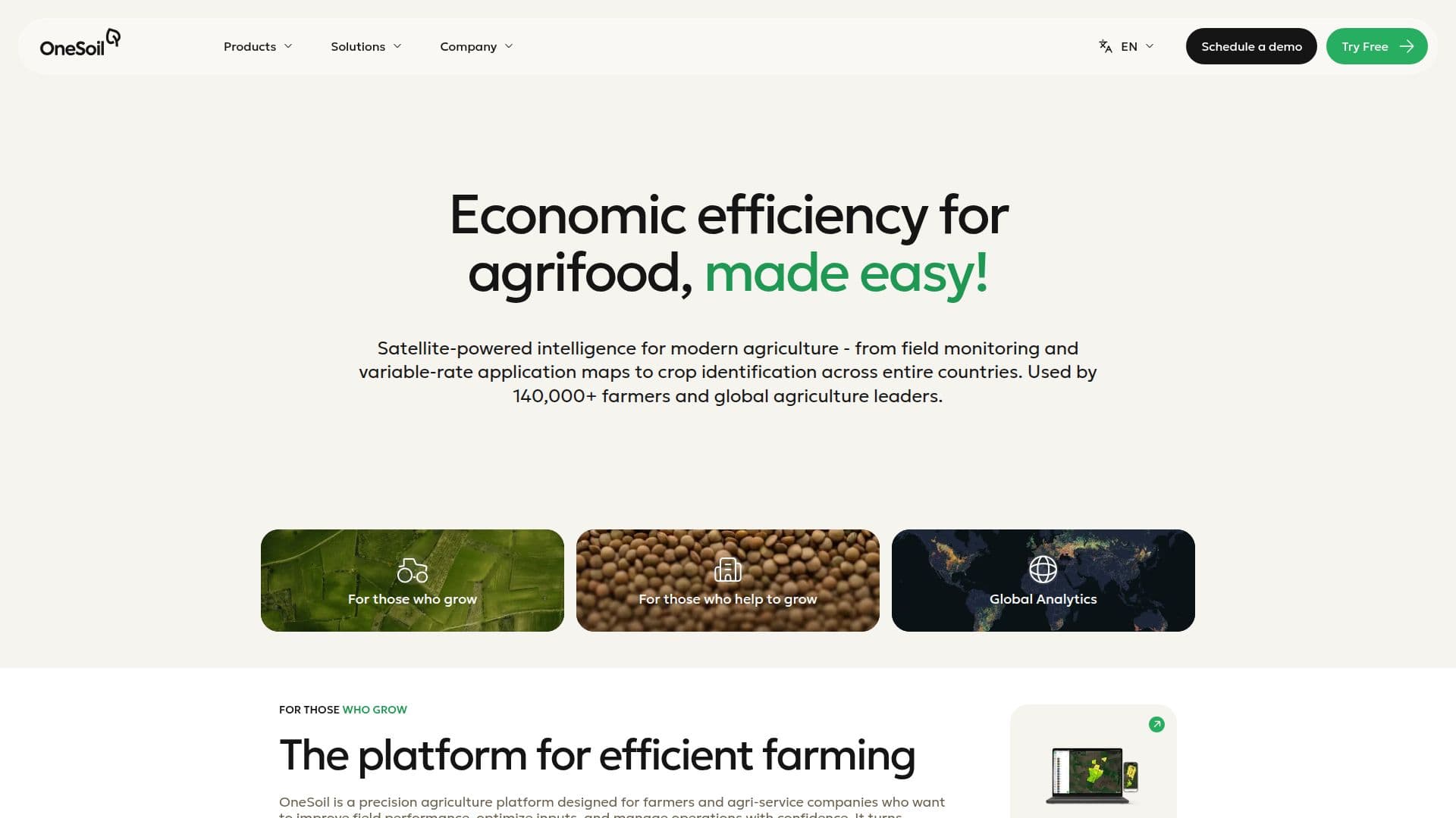
OneSoil is a precision agriculture platform that leverages satellite data and AI to provide actionable insights for farmers and agri-service companies. Designed to improve field performance and optimize inputs, OneSoil transforms satellite imagery into practical farming decisions. The platform is used by over 140,000 farmers across 180 countries, offering tools like productivity zones, variable-rate application maps, and crop monitoring.
OneSoil consists of two main products: OneSoil Mobile and OneSoil Pro. OneSoil Mobile is tailored for field scouting and monitoring, providing features such as NDVI monitoring, weather forecasts, and offline access. OneSoil Pro offers advanced precision agriculture tools, including productivity zones, variable-rate application maps, soil sampling, and machinery integrations. Users can start with a free trial or subscribe to OneSoil Pro for more comprehensive features.
The platform supports integration with John Deere Operations Center and other modern variable-rate equipment, facilitating easy transfer of prescription maps and yield data. OneSoil's AI Agronomist provides daily ranked lists of field areas needing attention, based on satellite signals, weather data, and crop calendars.
OneSoil is available globally and is particularly suited for broad-acre and row crops like wheat, maize, and soybean. It complements existing farm management systems by focusing on deep field monitoring and analysis. The platform does not require users to upload their own data, allowing for a quick start by selecting existing field boundaries.
OneSoil's pricing model varies by region and is typically based on the number of hectares managed. The platform aims to reduce unnecessary spending on seeds, fertilizers, and soil sampling, often providing a return on investment within the first season.
OneSoil's Core Features
Satellite-powered field monitoring
Variable-rate application maps
Productivity zones
AI-powered agronomic recommendations
Integration with John Deere Operations Center
Field scouting and monitoring
Soil sampling plans
Multi-user access
How to use OneSoil?
Select fields: choose existing boundaries or draw on map
Monitor: use satellite data for field insights
Create maps: generate VRA maps for applications
Integrate: connect with machinery for data transfer
OneSoil's Use Cases
- Field Monitoring
- Variable-Rate Application
- Productivity Analysis
- Soil Sampling
- Agronomic Decisions