Description
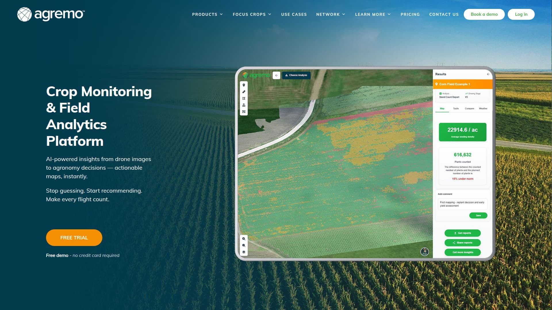
Agremo is a next-generation field analytics platform designed for precision agriculture. It leverages cutting-edge AI technology to analyze aerial imagery collected by drones and satellites, providing highly precise information about fields and crops. This platform simplifies remote sensing-based precision agriculture technology, making it accessible to agricultural professionals worldwide.
Agremo's solutions offer visual, easy-to-understand insights that guide actions in agriculture and forestry, saving time and resources. The platform is particularly beneficial for soil preparation and improving food production in marginal environments, including salt-affected and dry regions. Agremo collaborates with organizations like the International Center for Biosaline Agriculture to advance drone technology in saline agriculture.
Flexible pricing plans are available for AI drone crop analysis, vegetation indices, and precision agriculture tools, allowing users to choose the right fit for their farm. Agremo's target audience includes agronomists, farmers, and agricultural technology experts seeking to enhance their crop management practices.
While Agremo provides valuable insights, users should be aware that the effectiveness of the platform depends on the quality of aerial imagery and the specific conditions of their fields. Overall, Agremo offers a robust solution for precision agriculture, helping professionals optimize their operations and contribute to sustainable food production.
Agremo Field Analytics Software's Core Features
AI-driven aerial imagery analysis
Drone and satellite data integration
Precision agriculture insights
Flexible pricing plans
Collaboration with ICBA
Visual and easy-to-understand data
Soil preparation optimization
Resource management enhancement
Saline agriculture technology
Remote sensing simplification
Crop management improvement
Time-saving solutions
Marginal environment adaptation
Climate change resilience
Food production enhancement
How to use Agremo Field Analytics Software?
Configure: Set up drone and satellite data inputs
Use: Analyze field imagery for insights
Optimize: Implement data-driven decisions
Monitor: Track crop health and soil conditions
Agremo Field Analytics Software's Use Cases
- Crop Monitoring
- Soil Analysis
- Resource Management
- Saline Agriculture
- Climate Resilience
- Drone Integration
- Satellite Data Use
- Agronomy Support
- Forestry Management
- Food Production