ToolPotion
AI Advisor
Submit a Tool (Free)

Cybertiks

Cybertiks is an Earth observation platform that combines satellite imagery, ocean and atmospheric models, and field sensor data into one view. Its first live use case tracks sargassum seaweed, forecasting which beaches it reaches within 72 hours, with the data source and model behind every figure shown alongside the number.

Visit Website
Share
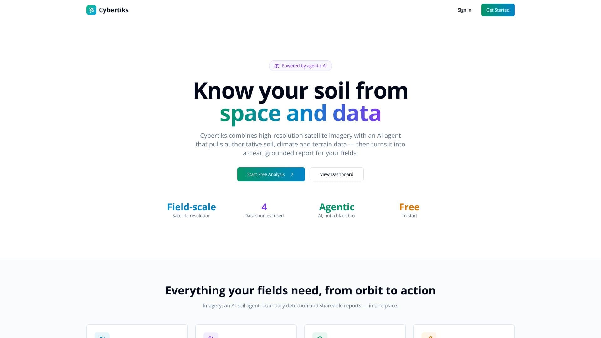
Cybertiks screenshot

Cybertiks builds an Earth observation platform meant to answer questions about a range of phenomena, not just one industry. The company says the platform is not tied to a single satellite or sector and adapts to whatever a customer needs to monitor, which marks a shift from its earlier, narrower focus on satellite-based farm and soil analysis for agriculture.

Read More

The platform brings together satellite imagery, ocean and atmospheric models, field sensors and operational records into a single layer of data, rather than treating each source as a separate feed a team has to reconcile by hand. It combines wind and current data into transport models that project where material is heading, not only where it has already been. An AI agent queries whichever sources a question requires, reasons across them, and produces a plain-language, actionable read while citing where each number came from, instead of leaving a user to interpret raw imagery or model output alone.

The current flagship use case is sargassum monitoring across the Caribbean. Cybertiks follows the seaweed from its origin in the Sargasso Sea, through westward transport across the Great Atlantic Sargassum Belt, to landfall forecasts for the Mexican Caribbean coast within a 72-hour window, using Lagrangian drift modeling built on public wind, current and wave data reported by monitoring stations. A daily read of transport indices covers onshore push, GASB transport and the outflow from the Sargasso Sea itself, station by station.

The company emphasizes visible provenance: every figure states which source it came from and which model calculated it, model assumptions such as the wind drag coefficient are shown rather than hidden, and the platform states what cannot be determined from available data rather than filling the gap with a guess. Cybertiks positions this auditable trail as evidence that can support a report, a claim or an accountability process, not just a dashboard view.

Cybertiks runs a public demo using live data, but there is no self-serve signup. Each account is configured after a meeting to define the areas of interest, alert cadence and data layers a customer needs, which fits operational teams such as coastal, tourism or environmental authorities rather than individual users signing up on their own.

  • CategoryAI Data Analysis
  • Pricing ModelFreemium
  • DeploymentCloud
  • PlatformsWeb

  • Combines satellite, ocean, atmospheric and field-sensor data in one platform

  • Physics-based transport modeling using wind and current data, not just imagery

  • An AI agent that queries relevant sources and produces a cited, actionable summary

  • Live sargassum monitoring from the Sargasso Sea to Caribbean landfall forecasts

  • 72-hour landfall forecasts based on Lagrangian drift modeling

  • Source and model attribution shown for every reported figure

  • Visible model assumptions, including the wind drag coefficient used in forecasts

  • Public live demo available before an account is configured

  1. View the live demo: explore the public sargassum monitoring demo, which uses live data

  2. Book a meeting: schedule a call to discuss the phenomenon your organization needs to watch

  3. Configure your account: Cybertiks sets up areas of interest, alert cadence and data layers with you

  4. Read the daily indices: check onshore push, landfall speed and transport indices for your region

  5. Check the evidence: review the cited source and model behind a number before acting on it

  • Sargassum landfall forecasting
  • Environmental monitoring dashboards
  • Evidence for reports and claims

Cybertiks Reviews

Loading...

Popular AI Tools Like Cybertiks

Planet Labs provides daily satellite imagery and Earth data analytics, empowering global decisions with a multidimensional view of our changing planet. Their platform offers…

AI Data AnalysisManufacturing & Industrial

Ranked #2 in Energy & Utilities

View Tool

Provides daily satellite imagery and Earth data analytics, empowering global decisions with a multidimensional view of our changing planet. Their platform offers…Planet Labs provides daily satellite imagery and Earth data analytics, empowering global decisions with a multidimensional view of our changing planet. Their platform offers…

AI Data AnalysisManufacturing & Industrial
Ranked #2 in Energy & Utilities

EOSDA offers satellite data analytics and visualization solutions, transforming raw imagery into actionable insights. Leveraging AI and a network of satellite constellations, they…

AI Data AnalysisAgriculture

Ranked #8 in Agriculture

View Tool

EOSDA offers satellite data analytics and visualization solutions, transforming raw imagery into actionable insights. Leveraging AI and a network of satellite constellations, they…

AI Data AnalysisAgriculture
Ranked #8 in Agriculture

DynaCrop is an API service that provides field-related information using satellite data for agriculture and AI applications. It offers insights into crop growth, soil moisture,…

Other AI ToolsAgriculture
View Tool

API service that provides field-related information using satellite data for agriculture and AI applications. It offers insights into crop growth, soil moisture,…DynaCrop is an API service that provides field-related information using satellite data for agriculture and AI applications. It offers insights into crop growth, soil moisture,…

Other AI ToolsAgriculture
See the Top 250 AI Apps

Kayrros

AI Apps

Kayrros is a leading environmental intelligence company that uses satellite-based technology to measure the global footprint of human activity. It provides geospatial AI solutions…

Computer Vision ToolsEnergy & Utilities

Ranked #16 in Energy & Utilities

View Tool

AI Apps

Leading environmental intelligence company that uses satellite-based technology to measure the global footprint of human activity. It provides geospatial AI solutions…Kayrros is a leading environmental intelligence company that uses satellite-based technology to measure the global footprint of human activity. It provides geospatial AI solutions…

Computer Vision ToolsEnergy & Utilities
Ranked #16 in Energy & Utilities

Tomorrow.io offers a space-powered AI resilience platform to predict, automate, and solve weather challenges. It provides real-time atmospheric intelligence, sector-specific…

Forecasting & Predictive AnalyticsInsurance

Ranked #4 in Energy & Utilities

View Tool

Offers a space-powered AI resilience platform to predict, automate, and solve weather challenges. It provides real-time atmospheric intelligence, sector-specific…Tomorrow.io offers a space-powered AI resilience platform to predict, automate, and solve weather challenges. It provides real-time atmospheric intelligence, sector-specific…

Forecasting & Predictive AnalyticsInsurance
Ranked #4 in Energy & Utilities

Flypix AI

AI Apps

Flypix AI offers AI-powered geospatial solutions for analyzing satellite, aerial, and drone imagery. It automates detection, monitoring, and inspection tasks, saving users…

Computer Vision Tools

Ranked #83 in Computer Vision Tools

View Tool

AI Apps

Offers AI-powered geospatial solutions for analyzing satellite, aerial, and drone imagery. It automates detection, monitoring, and inspection tasks, saving users…Flypix AI offers AI-powered geospatial solutions for analyzing satellite, aerial, and drone imagery. It automates detection, monitoring, and inspection tasks, saving users…

Computer Vision Tools
Ranked #83 in Computer Vision Tools

Agrio is an AI-powered precision agriculture solution that helps growers monitor, identify, and treat plant diseases and pests. It offers tools for remote sensing, collaboration,…

AI Data AnalysisAgriculture

Ranked #22 in Agriculture

View Tool

AI-powered precision agriculture solution that helps growers monitor, identify, and treat plant diseases and pests. It offers tools for remote sensing, collaboration,…Agrio is an AI-powered precision agriculture solution that helps growers monitor, identify, and treat plant diseases and pests. It offers tools for remote sensing, collaboration,…

AI Data AnalysisAgriculture
Ranked #22 in Agriculture

Mitti's Soil to Sky Technology offers a comprehensive platform for assessing, monitoring, and measuring methane reductions in rice farming. Utilizing AI and satellite imagery, it…

Forecasting & Predictive AnalyticsAgriculture
View Tool

Soil to Sky Technology offers a comprehensive platform for assessing, monitoring, and measuring methane reductions in rice farming. Utilizing AI and satellite imagery, it…Mitti's Soil to Sky Technology offers a comprehensive platform for assessing, monitoring, and measuring methane reductions in rice farming. Utilizing AI and satellite imagery, it…

Forecasting & Predictive AnalyticsAgriculture
See the Top 250 AI Apps
1 of 8