ToolPotion
AI Advisor
Submit a Tool (Free)

Mitti Soil to Sky Technology

Mitti's Soil to Sky Technology offers a comprehensive platform for assessing, monitoring, and measuring methane reductions in rice farming. Utilizing AI and satellite imagery, it ensures project integrity and transparency, delivering high-quality carbon credits through innovative methodologies.

Visit Website
Share
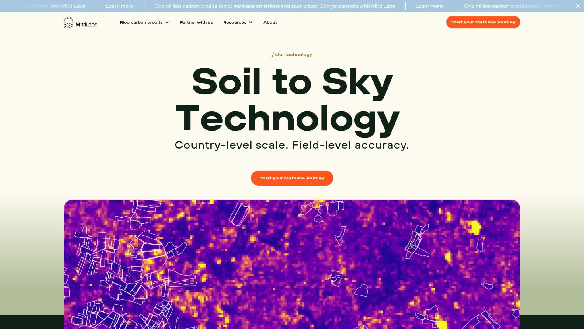
Mitti Soil to Sky Technology screenshot

Mitti's Soil to Sky Technology is a cutting-edge platform designed to transform rice farming into a sustainable practice that contributes to climate action. By leveraging AI and satellite imagery, Mitti provides a comprehensive solution for assessing, monitoring, and measuring methane reductions at a country-level scale with field-level accuracy. The platform ensures project integrity and transparency, offering high-quality carbon credits based on methane reduction.

Read More

Mitti's technology assesses project areas using satellite imagery and AI to perform granular analysis of historical farming practices and environmental factors. This allows for accurate evaluation of local potential for methane mitigation and optimal project location. The platform monitors the adoption of climate-smart practices in near real-time, supporting farmers in their implementation and providing transparency for buyers and investors.

The measurement of real impact is conducted with Tier 3 methodology, the highest level of scientific rigor. Mitti measures methane, nitrous oxide, and carbon fluxes through in-field data collection and gas chromatographs. The platform also develops pioneering biochemical models to measure and forecast greenhouse gas emissions, water, and yield across diverse soil types.

Mitti's platform is enabled by world-leading science partners and built-for-purpose technology. The science team has pioneered a first-of-its-kind digital Measurement, Reporting, and Verification (dMRV) system tailored specifically for rice farming projects. The use of Synthetic Aperture Radar (SAR) satellite imagery at high resolution, combined with AI models calibrated for rice, provides key insights in near real-time.

Mitti Labs, founded in 2023, has successfully scaled from pilot projects to working with tens of thousands of farmers across India. The team, backed by world-class expertise in science, technology, sustainable agriculture, and carbon finance, has received a pioneering Tier 3 certification from Gold Standard for their Rice Methane Reduction Methodology.

  • CategoryForecasting & Predictive Analytics
  • Pricing ModelNot specified
  • DeploymentCloud
  • PlatformsWeb

  • Country-level scale assessment

  • Field-level accuracy monitoring

  • Methane reduction measurement

  • Satellite imagery analysis

  • AI-driven insights

  • Climate-smart practice monitoring

  • Tier 3 methodology adherence

  • Biochemical model development

  • In-field data collection

  • Gas chromatograph analysis

  • Digital twins of rice fields

  • Synthetic Aperture Radar usage

  • Real-time data processing

  • Project integrity assurance

  • High-quality carbon credits

  1. Assess: Evaluate project area using AI and satellite imagery

  2. Monitor: Track climate-smart practice adoption in real-time

  3. Measure: Collect in-field data for methane reduction

  4. Optimize: Use insights to improve project outcomes

  • Methane Reduction
  • Climate-smart Practices
  • Carbon Credit Generation
  • Project Integrity Assurance
  • Real-time Monitoring

Mitti Soil to Sky Technology Reviews

Loading...

Popular AI Tools Like Mitti Soil to Sky Technology

SeeTree offers AI-powered crop intelligence and ultra-accurate yield forecasts for agribusinesses. It analyzes satellite imagery, weather data, and drone analytics to provide…

Forecasting & Predictive AnalyticsAgriculture

Ranked #19 in Agriculture

View Tool

Offers AI-powered crop intelligence and ultra-accurate yield forecasts for agribusinesses. It analyzes satellite imagery, weather data, and drone analytics to provide…SeeTree offers AI-powered crop intelligence and ultra-accurate yield forecasts for agribusinesses. It analyzes satellite imagery, weather data, and drone analytics to provide…

Forecasting & Predictive AnalyticsAgriculture
Ranked #19 in Agriculture

Cybertiks

AI Apps

Cybertiks is an Earth observation platform that combines satellite imagery, ocean and atmospheric models, and field sensor data into one view. Its first live use case tracks…

AI Data Analysis

Ranked #189 in AI Data Analysis

View Tool

AI Apps

Earth observation platform that combines satellite imagery, ocean and atmospheric models, and field sensor data into one view. Its first live use case tracks…Cybertiks is an Earth observation platform that combines satellite imagery, ocean and atmospheric models, and field sensor data into one view. Its first live use case tracks…

AI Data Analysis
Ranked #189 in AI Data Analysis

Leverages satellite data for AI-driven mineral detection and crop monitoring. It aids mining exploration and agricultural productivity across 135 countries, covering…Farmonaut leverages satellite data for AI-driven mineral detection and crop monitoring. It aids mining exploration and agricultural productivity across 135 countries, covering…

Forecasting & Predictive AnalyticsAgriculture
Ranked #11 in Agriculture

OneSoil offers satellite-powered agricultural intelligence to enhance field performance and optimize inputs. It provides tools for field monitoring, variable-rate application…

Forecasting & Predictive AnalyticsAgriculture

Ranked #7 in Agriculture

View Tool

Offers satellite-powered agricultural intelligence to enhance field performance and optimize inputs. It provides tools for field monitoring, variable-rate application…OneSoil offers satellite-powered agricultural intelligence to enhance field performance and optimize inputs. It provides tools for field monitoring, variable-rate application…

Forecasting & Predictive AnalyticsAgriculture
Ranked #7 in Agriculture

Planet Labs provides daily satellite imagery and Earth data analytics, empowering global decisions with a multidimensional view of our changing planet. Their platform offers…

AI Data AnalysisManufacturing & Industrial

Ranked #3 in Agriculture

View Tool

Provides daily satellite imagery and Earth data analytics, empowering global decisions with a multidimensional view of our changing planet. Their platform offers…Planet Labs provides daily satellite imagery and Earth data analytics, empowering global decisions with a multidimensional view of our changing planet. Their platform offers…

AI Data AnalysisManufacturing & Industrial
Ranked #3 in Agriculture

Agrosmart AI transforms farming with precision agriculture powered by AI. It enhances yield by 40%, reduces costs, and supports sustainable practices through real-time monitoring,…

Forecasting & Predictive AnalyticsAgriculture
View Tool

Transforms farming with precision agriculture powered by AI. It enhances yield by 40%, reduces costs, and supports sustainable practices through real-time monitoring,…Agrosmart AI transforms farming with precision agriculture powered by AI. It enhances yield by 40%, reduces costs, and supports sustainable practices through real-time monitoring,…

Forecasting & Predictive AnalyticsAgriculture
See the Top 250 AI Apps

Arable provides a comprehensive crop intelligence system that helps enterprises and growers optimize water usage and achieve sustainability goals through real-time insights and…

Forecasting & Predictive AnalyticsAgriculture
View Tool

Provides a comprehensive crop intelligence system that helps enterprises and growers optimize water usage and achieve sustainability goals through real-time insights and…Arable provides a comprehensive crop intelligence system that helps enterprises and growers optimize water usage and achieve sustainability goals through real-time insights and…

Forecasting & Predictive AnalyticsAgriculture
See the Top 250 AI Apps

GAMAYA uses AI to enhance sugarcane farming, optimizing yields and sustainability. Through remote sensing and precision technology, it provides insights to improve harvest…

Forecasting & Predictive AnalyticsAgriculture
View Tool

Uses AI to enhance sugarcane farming, optimizing yields and sustainability. Through remote sensing and precision technology, it provides insights to improve harvest…GAMAYA uses AI to enhance sugarcane farming, optimizing yields and sustainability. Through remote sensing and precision technology, it provides insights to improve harvest…

Forecasting & Predictive AnalyticsAgriculture
See the Top 250 AI Apps
1 of 8