Description
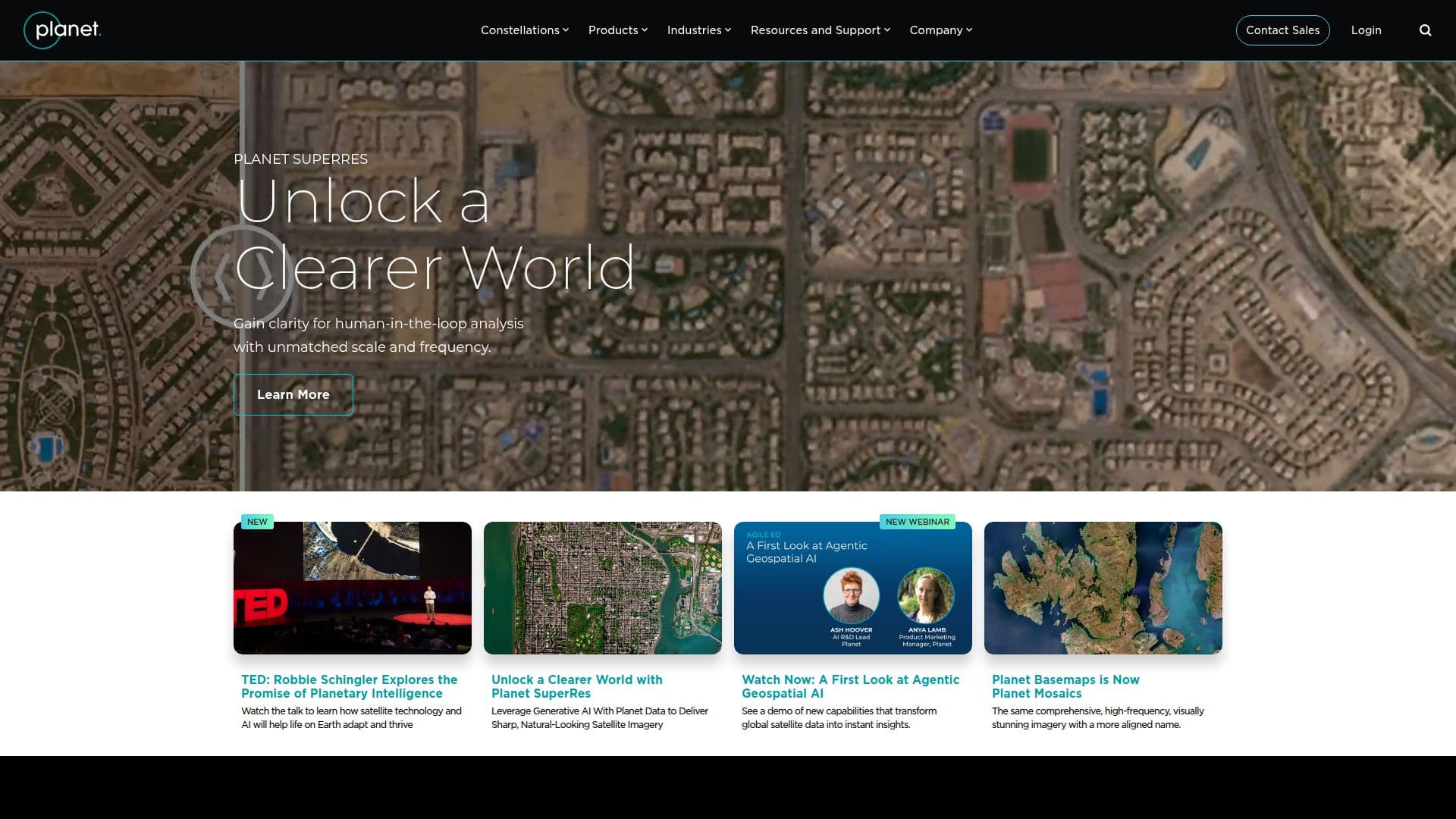
Planet Labs, founded by ex-NASA scientists, is revolutionizing the satellite industry by providing daily satellite imagery and Earth data analytics. Their mission is to make global change visible, accessible, and actionable. Planet offers the highest frequency satellite data available, allowing users to monitor geographically dispersed locations, inspect events in detail, and measure changing phenomena over time. The Planet Insights Platform combines daily Earth data, analytics, and powerful tools to create insights, enabling organizations to make reliable and confident decisions.
Planet's offerings include high-resolution imagery with Planet Satellite Tasking, which provides on-demand data from the world's largest commercial satellite fleet. This service allows for rapid revisit and high-resolution data capture, enabling real-time decision-making. The platform supports various industries, including agriculture, defense, government, and energy, by providing critical insights for operational efficiency and decision-making.
Pricing for the Planet Insights Platform is structured into several tiers, including Starter, Professional, Scale, and Enterprise plans, catering to different organizational needs. The platform also offers flexible pricing options for satellite tasking, allowing users to pay per square kilometer or use pre-paid tasking credits for ongoing projects.
Planet's data and platform are leveraged by businesses, governments, and research institutions to scale operations, increase efficiency, and mitigate risk. The platform's cloud-native infrastructure allows for seamless integration into existing workflows, providing users with modern APIs and cloud architectures. With a commitment to ethical principles, Planet aims to seek the greatest good in everything they do, driving their conduct as global citizens.
Planet Labs: Satellite Imagery & Earth Data Analytics's Core Features
Daily satellite imagery
High-frequency data
Earth data analytics
On-demand satellite tasking
Cloud-native platform
Flexible pricing plans
High-resolution imagery
Global data access
Seamless API integration
Multidimensional insights
Real-time decision-making
Extensive data archive
Rapid revisit capability
Industry-specific solutions
Professional services support
How to use Planet Labs: Satellite Imagery & Earth Data Analytics?
Configure: Set up your monitoring parameters
Use: Access and analyze satellite imagery
Optimize: Integrate data into workflows
Monitor: Track changes and derive insights
Planet Labs: Satellite Imagery & Earth Data Analytics's Use Cases
- Agriculture Monitoring
- Defense Intelligence
- Drought Response
- Urbanization Monitoring
- Disaster Management
- Forestry Management
- Energy Infrastructure
- Maritime Surveillance
- Climate Risk Assessment
- GIS Data Update