


Description
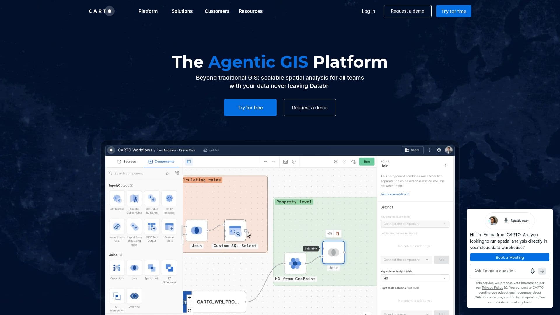
CARTO is a leading Agentic GIS platform designed to revolutionize spatial analysis by integrating seamlessly with your existing cloud data warehouse. This cloud-native platform supports major data warehouses such as BigQuery, Snowflake, Databricks, and Redshift, ensuring that your spatial data never leaves your secure cloud environment. CARTO empowers users with powerful spatial analysis tools, offering a low-code interface that simplifies complex geospatial tasks. With over 100 ready-to-go analysis components and native machine learning and AI integrations, CARTO makes spatial analysis accessible to everyone in your organization.
The platform's AI Agents allow users to build custom tools tailored to their specific needs, supporting end-to-end decision-making across the enterprise. CARTO's unmatched data visualization capabilities enable users to interact with maps and dashboards through natural language, providing instant insights. The platform also supports accelerated app development without the need for complex back-end ETLs, allowing applications to run directly in your data lakehouse.
CARTO offers flexible pricing models, including a free 14-day trial and a Pay As You Go option, which provides full access to the platform with costs that scale with usage. For organizations requiring predictable costs and enterprise-grade governance, Committed Tiers are available, offering dedicated support and higher usage quotas.
CARTO is ideal for a wide range of industries, including real estate, logistics, telecommunications, and more. It helps organizations optimize decision-making, reduce costs, and enhance strategic value by leveraging hyper-local data and advanced spatial analytics. The platform's robust security features ensure data privacy while providing real-time insights for on-demand network planning.
Overall, CARTO is a comprehensive solution for organizations looking to harness the power of spatial data science, offering tools that streamline workflows, enhance productivity, and drive data-driven decision-making.
CARTO's Core Features
Cloud-native spatial analytics
Integration with major data warehouses
Low-code drag-and-drop interface
AI and machine learning integrations
Custom AI Agents for decision-making
Advanced data visualization capabilities
Accelerated app development
Flexible pricing models
How to use CARTO?
Configure: Set up your data warehouse integration
Use: Perform spatial analysis with low-code tools
Optimize: Leverage AI Agents for insights
Visualize: Create dynamic maps and dashboards
CARTO's Use Cases
- Real Estate Analysis
- Logistics Optimization
- Telecommunications Planning
- Retail Strategy
- Environmental Analysis