Description
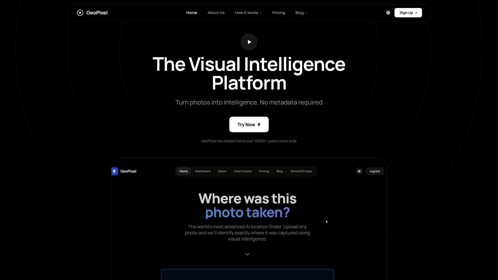
GeoPixel is an advanced AI-powered tool designed to identify the location of any photo. By leveraging state-of-the-art computer vision technology, GeoPixel analyzes visual clues such as architecture, landmarks, vegetation, and shadows to determine the geolocation of an image. This tool is particularly useful for travelers, investigators, and photographers who need to find the location of a photo without relying on GPS data or EXIF metadata.
Read More
GeoPixel offers a free tier that allows users to upload up to two images per month for detailed location analysis. The tool uses a sophisticated process that involves visual decomposition, geospatial matching, and grounding verification to ensure high accuracy. It cross-references extracted visual tokens against a vast database of street-level images and topographic maps, powered by the Gemini 1.5 Pro model.
The tool is designed to be user-friendly, requiring only a simple photo upload to start the analysis. GeoPixel provides results with coordinates, maps, and street view verification, making it a valuable resource for travel research, dating profile verification, and image authenticity investigations. While highly accurate for well-known landmarks, the tool's precision may vary for generic environments.
GeoPixel does not store user photos permanently, ensuring privacy and security. Registered users can access their analysis history, which includes a compressed thumbnail of the processed image. The tool also provides a confidence score with each result, indicating the accuracy of the location data.
- CategoryComputer Vision Tools
- Pricing ModelFreemium
- DeploymentCloud
- PlatformsWeb
GeoPixel's Core Features
AI-powered photo location identification
Visual decomposition and analysis
Geospatial matching with 50 billion images
Grounding and verification for accuracy
Free tier with up to 2 images per month
Coordinates, maps, and street view results
Confidence score for location accuracy
Privacy-focused with transient image processing
How to use GeoPixel?
Upload: Add your photo to the platform
Analyze: AI processes visual data
Verify: Cross-reference with geospatial data
Receive: Get location results with maps
GeoPixel's Use Cases
- Travel Research
- Image Verification
- Photo Organization
- Dating Profile Verification
- Geolocation Workflows