Description
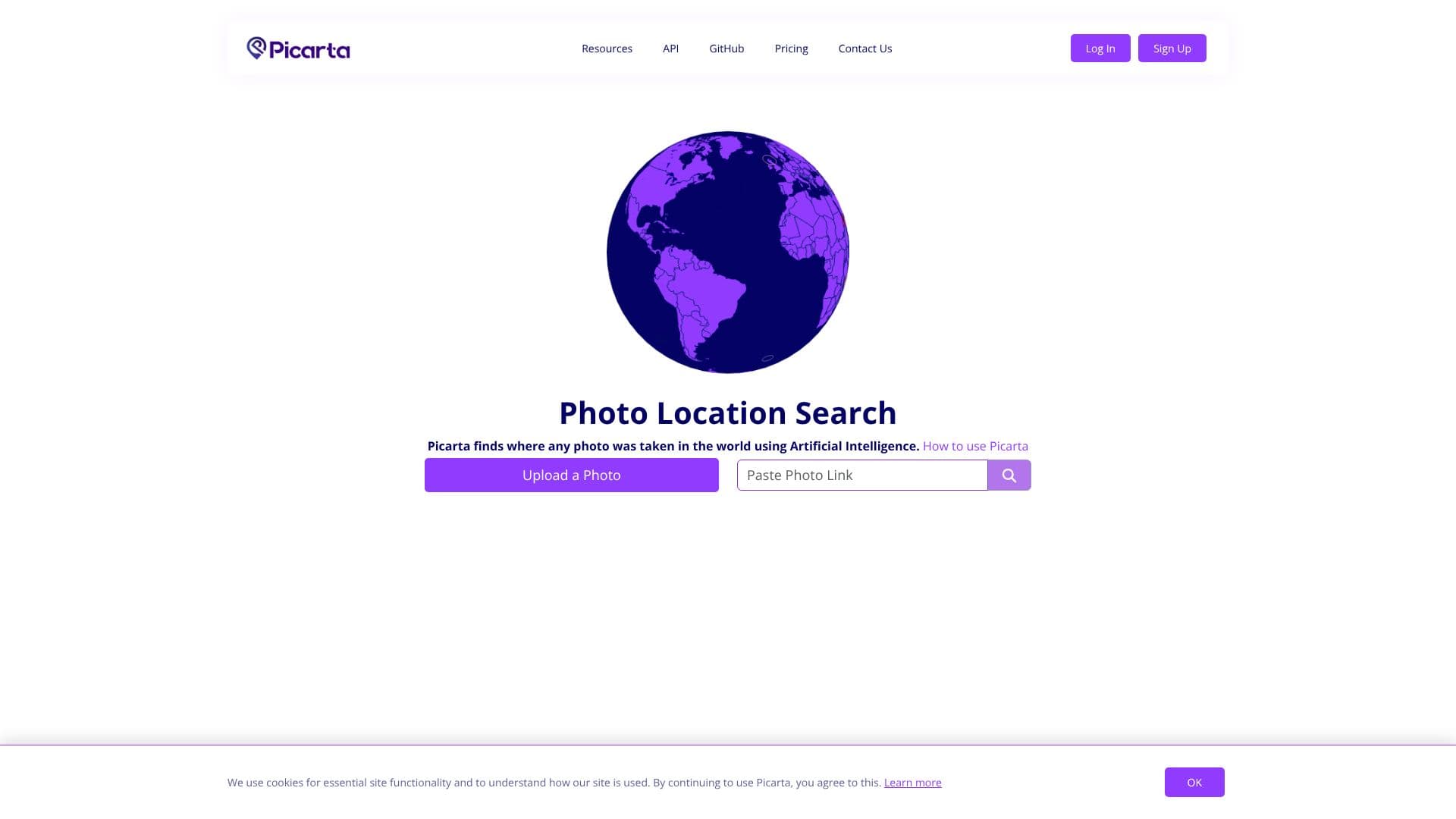
Picarta is an AI-powered tool designed to geolocate any photograph, revealing its precise geographical origin. By leveraging advanced artificial intelligence, Picarta analyzes the visual content of an image to identify its location, even when traditional metadata like EXIF or GPS tags are absent. This capability makes it an invaluable asset for a wide range of users who need to verify the origin of visual content.
Read More
The process is straightforward: users upload a photo or provide an image link. Picarta's AI then meticulously examines the image for distinctive geographical features, architectural styles, vegetation patterns, and visible signage. Based on this analysis, the AI predicts the most likely GPS coordinates, city, and country where the photo was taken, providing confidence scores for each prediction.
Picarta's technology is particularly useful for situations where location data is missing or has been deliberately removed. This includes screenshots, edited images, or photos shared without their original metadata. The tool offers various search functionalities, allowing users to search for a specific location, within a country, worldwide, or focus on a particular area. Users can also choose between 'Georeference' and 'Geolocalization' options to refine their search.
To access full results and detailed information, users may need to log in, register, or upgrade their account. The platform aims to provide comprehensive details, including latitude and longitude, timestamps, camera details, and an interactive map view. Picarta is continuously being improved to enhance its accuracy and expand its capabilities.
The primary users of Picarta include Open Source Intelligence (OSINT) investigators, journalists, law enforcement agencies, researchers, photographers, and travelers. Anyone needing to confirm the origin of an image or discover the location of a photo can benefit from Picarta's powerful AI-driven geolocation services. The platform also offers a newsletter for users to stay updated on its developments.
- CategoryComputer Vision Tools
- Pricing ModelRequires Login/Upgrade for full results
- DeploymentCloud-based
- PlatformsWeb-based
Picarta's Core Features
AI-powered image geolocation
Finds GPS location, city, and country from photos
Analyzes visual clues like architecture, landscape, and signage
Works without EXIF or GPS data
Supports uploading photos or pasting image links
Provides confidence scores for predicted locations
Offers search options for specific areas, countries, or worldwide
Displays results on an interactive map
Continuous model improvement for increased accuracy
Suitable for OSINT, journalism, law enforcement, and research
How to use Picarta?
Upload Photo: Submit the image you want to geolocate.
Analyze Image: Wait for Picarta's AI to process the visual content.
Search Location: Utilize options to search worldwide, in a country, or focus on a specific area.
Review Results: Examine the predicted GPS coordinates, city, country, and confidence scores.
View Map: Open the results on Google Maps for a visual representation.
Login/Register: Access full details by logging in or upgrading your account.
Picarta's Use Cases
- OSINT Investigation
- Journalistic Verification
- Law Enforcement
- Travel Planning
- Content Verification
- Geographical Research