
Description
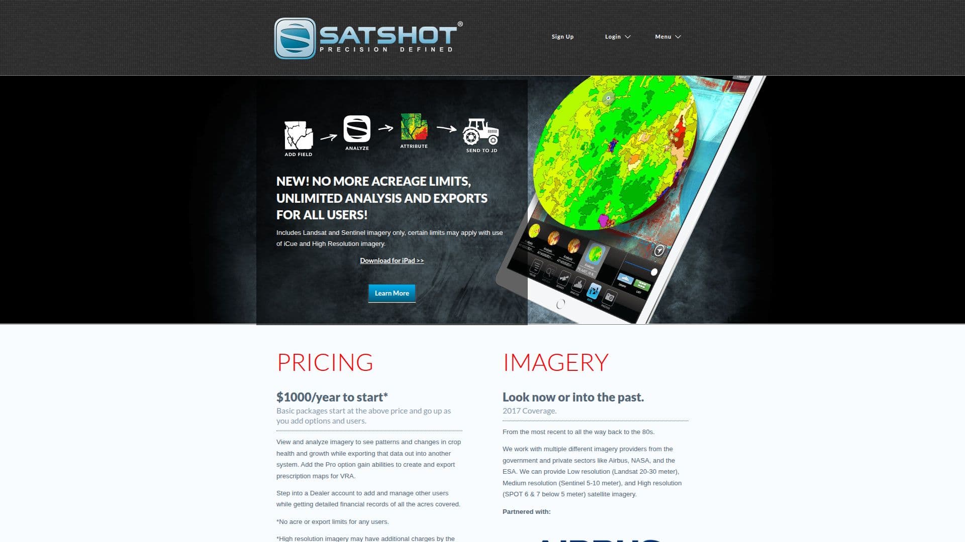
Satshot is a comprehensive precision agriculture tool that leverages satellite imagery to provide valuable insights into crop health and growth patterns. It offers a cloud-based GIS mapping engine that integrates satellite, aerial, and UAV/drone imagery, making it a versatile solution for the agriculture industry. Satshot's primary products include Mapcenter, Landscout, and iCue Manager, each designed to help users interpret and utilize remote sensing data effectively.
With Satshot, users can access a wide range of imagery from providers like Airbus, NASA, and the ESA, covering low to high-resolution images. This allows farmers and agricultural advisors to monitor crops, assess crop health and stress, and manage land use and sustainability. The platform supports the creation of prescription maps for variable rate applications (VRA) of seed, chemicals, and fertilizers, optimizing resource use and improving yields.
Satshot offers flexible pricing starting at $1000 per year, with options to add features and users. The platform is designed to scale from small farms to large enterprises, providing tools for managing millions of acres. Its iCue Intelligence feature enables users to receive notifications and analyze imagery quickly, making it easier to manage large territories.
Founded by Lanny Faleide, Satshot has been a leader in the remote sensing industry for over 20 years, serving clients from individual farmers to Fortune 500 companies. Now part of Boundri Inc., Satshot continues to innovate and expand its offerings, helping the agriculture industry meet its evolving needs.
Satshot's Core Features
Unlimited analysis and exports
Satellite imagery from multiple providers
GIS mapping engine
Prescription map creation for VRA
Crop health monitoring
Land use and sustainability management
iCue Intelligence for notifications
Scalable for any farm size
How to use Satshot?
Configure: Set up fields and imagery preferences
Use: Analyze imagery and create maps
Optimize: Adjust VRA maps for efficiency
Satshot's Use Cases
- Crop Monitoring
- VRA Mapping
- Land Management
- Insurance Assessment
- Historical Analysis