


Description
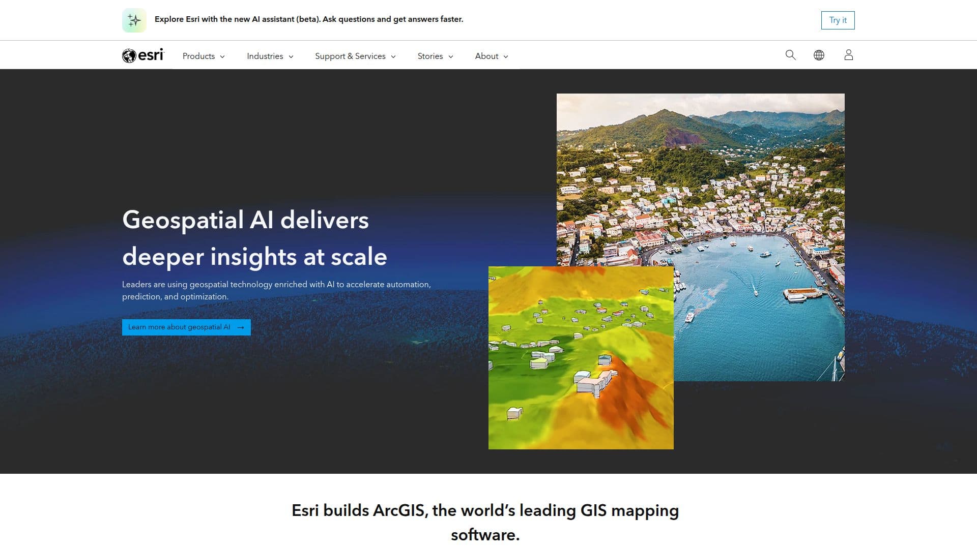
Esri ArcGIS AI is a powerful tool that combines the capabilities of geographic information systems (GIS) with artificial intelligence to provide advanced mapping and spatial analytics solutions. It is designed to help organizations across various industries make informed decisions by leveraging geospatial data. ArcGIS AI offers a comprehensive platform that includes mapping, data management, and analytics capabilities, allowing users to create, manage, and share data effectively.
The platform supports a wide range of applications, from creating simple maps to conducting complex spatial analyses. Users can explore geographic contexts in 2D, 3D, and even 4D, providing a detailed understanding of spatial relationships and patterns. ArcGIS AI also facilitates real-time data analysis, enabling organizations to monitor live feeds and make timely decisions based on current data.
One of the key features of ArcGIS AI is its ability to integrate with various data sources, including drone, aircraft, and satellite imagery. This capability enhances the analysis process by providing high-quality geospatial data for more accurate insights. Additionally, the platform supports field operations by providing mobile teams with accurate maps and data, ensuring that information is synchronized and accessible anywhere.
ArcGIS AI is particularly beneficial for industries such as utilities, retail, and government, where spatial data plays a crucial role in decision-making. For instance, it helps utility companies monitor real-time data and predict outcomes, while retail businesses can use it to optimize store locations and inventory management. Government agencies can leverage ArcGIS AI to address geographic constraints and develop data-driven solutions for urban planning and housing.
The platform offers flexible licensing options, including cloud-based services and self-hosted environments, catering to the specific needs of different organizations. With its robust set of tools and capabilities, Esri ArcGIS AI is a valuable asset for any organization looking to harness the power of geospatial data and AI for strategic decision-making.
Esri ArcGIS AI's Core Features
Advanced mapping in 2D, 3D, and 4D
Real-time data analysis
Integration with drone, aircraft, and satellite imagery
Comprehensive data management
Field operations support
Spatial analysis tools
Indoor GIS capabilities
Digital twin creation
Secure data storage
Predictive modeling
Location-based intelligence
Customizable workflows
Enterprise-wide access
Mobile GIS applications
Collaboration and data sharing
How to use Esri ArcGIS AI?
Configure: Set up your ArcGIS environment
Use: Create and analyze maps
Optimize: Integrate real-time data for insights
Deploy: Share maps and data with teams
Esri ArcGIS AI's Use Cases
- Retail Planning
- Utility Management
- Urban Planning
- Emergency Response
- Environmental Monitoring
- Logistics Optimization
- Asset Management
- Site Selection
- Risk Analysis
- Customer Insights